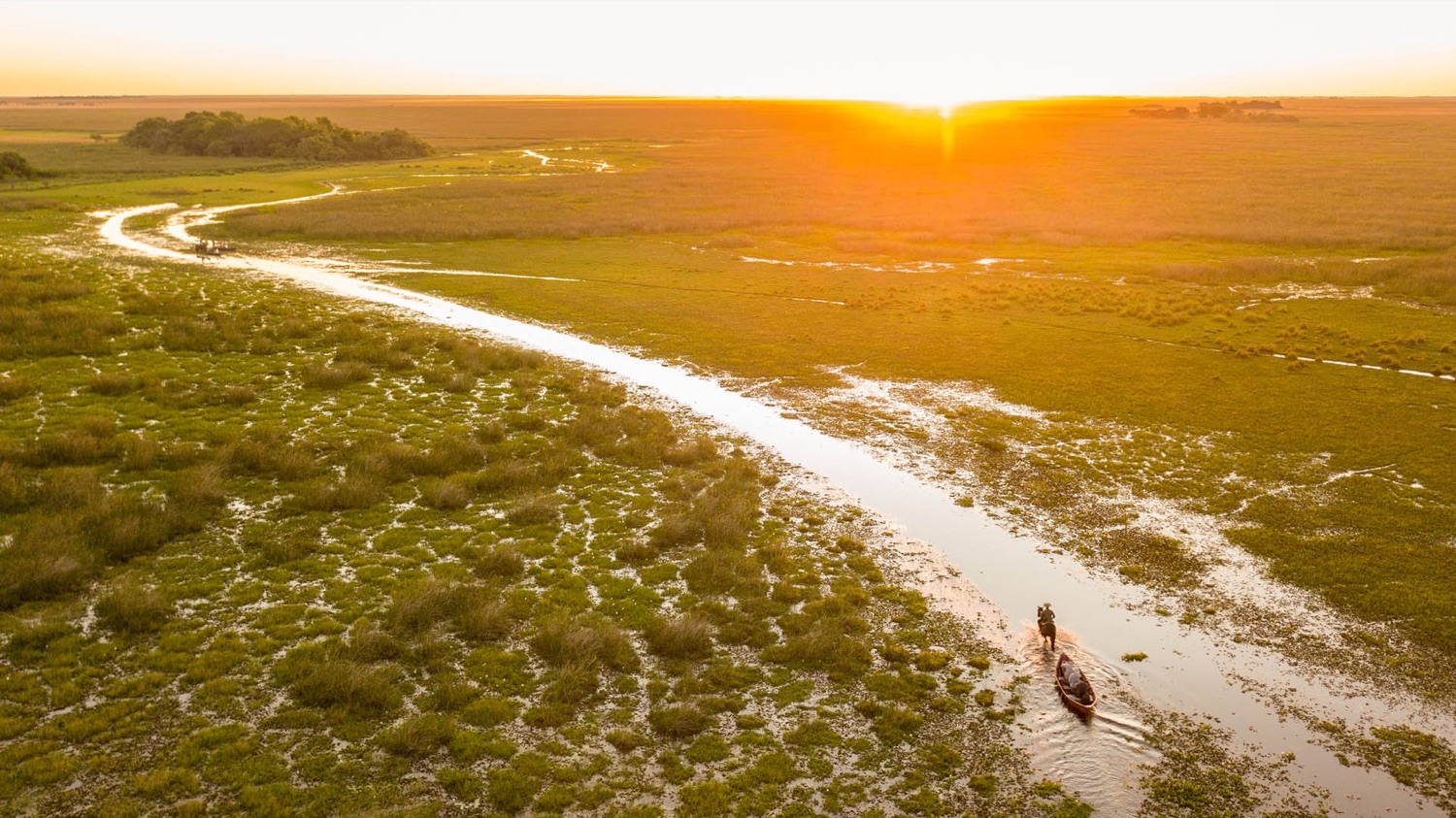
The sandy road at sunset, from the air
Home Practical info Road conditions

How are the roads to the Iberá?

Nobody publishes a road report for the Esteros. What can be known is how much it rained, which is what changes the state of the gravel and dirt roads.

🌧️
Rainfall is queried the moment you open this page, from Open-Meteo (CC BY 4.0 data), and not from a single model: four are requested (ECMWF, GFS, ICON and their blend) and the middle one is shown, because rain is what they estimate worst and they disagree among themselves. The type of access of each portal comes from its listing in the app. Where there is a rain gauge nearby, what was actually measured by the INA network is added. This is not an official report: it is the data you use to decide whether to ask before setting out.
Checking the rainfall of the last few days…
When the road is in doubt, what works is asking locally: the provider you are staying with knows how the access is today, and in the app you have their direct WhatsApp. Practical info has the details of access, advance notices and services portal by portal.

Before you set out, download your trip

In much of the Esteros there is no signal: the app saves the map, the listings and the phone numbers to use them offline.

Open Iberá Experience