The usual trip to the Iberá Wetlands goes like this: drive to one portal, stay two or three nights and leave the way you came. It is a perfectly good trip. But the Iberá was planned with something bigger in mind.
Around the wetland runs a ring of roads that circles the whole basin, and from it you can enter the park through all ten of its public-access portals. It has a name, the Ruta Escénica del Iberá (the Iberá Scenic Route), and it is not a line in a brochure: it comes from the book the park was planned with, it has its own entry in the legend of the official map, and public works have been carried out to build it. Driving it, whole or in sections, is the difference between visiting a lagoon and understanding a wetland reserve of more than 1.3 million hectares (over 3.2 million acres).
A little vocabulary before you set off. A portal is one of the public entrances to the Gran Parque Iberá (the Greater Iberá Park, national and provincial parks together), each tied to a nearby town. Ripio is the local word for a gravel road, and you will hear it a lot. And like Argentines, this article writes RN for a national route (ruta nacional) and RP for a provincial one (ruta provincial).
What a "scenic route" means here
The idea has a precise definition, and it explains how this road should be driven. It comes from Gran Parque Iberá: Producción de Naturaleza y Desarrollo Local, the planning book for the park (updated 2020 edition, in the official Iberá library), which describes scenic routes as roads through areas of great natural and cultural value, whose route lets you get to know the geography and culture of a region.
The road around the Iberá, the book explains, was laid out to show off the best of the landscape and the culture, with good wildlife-watching from the moment you start. Just as important, it has to be easy and safe for a driver going slowly who wants to stop and look. That is why the book calls for well-kept gravel, which has a double job: to stay usable in the rain and, at the same time, to keep speeds down.
Read that again: the road was designed for someone who drives slowly and stops. On a scenic route, the fact that you cannot cruise at 110 km/h (about 70 mph) is not a flaw in the road. It is the road.
The seven roads that make the loop
The loop is stitched together from seven national and provincial routes. The planning book lists them plainly: RN 118, RN 12, RP 41, RP 40, RN 123, RP 22 and RP 6, with ten portals into the park along the way. On the map of the official nature tourism guide to Iberá (2025 edition, also published in English), "Scenic Route" has its own line in the legend.
In driving order, clockwise from the south, the loop runs like this:
- Mercedes to Chavarría, on RN 123, which is paved. The south-western side, the side of the Corriente River.
- Chavarría to Concepción del Yaguareté Corá, on RP 22. In 2020 the province was upgrading 34 km (21 miles) of it, between Concepción and the Tajibo stream, with financing from the Inter-American Development Bank. Local press called it a "scenic walkway" that would bring four access points to life: Río Corriente, Juli Cué, San Antonio and Carambola.
- Concepción to San Miguel and Loreto, on RP 6 and then RN 118, which is paved: the backbone of the northern side and its Jesuit-Guarani history.
- Loreto to Villa Olivari and Ituzaingó: RN 118 ends on RN 12, which carries on to Ituzaingó, towards the Paraná River.
- Ituzaingó to Galarza: RN 12 to Puerto Valle, near Ituzaingó, then RP 41, 85 km (53 miles) of gravel down to Paraje Galarza.
- Galarza to Colonia Carlos Pellegrini and back to Mercedes, on RP 40. The eastern and southern side, and the classic one: Carlos Pellegrini was the first public access to the Iberá, and the official guide describes its portal as "one of the most developed in terms of tourism offerings".
One clarification that saves a lot of confusion: Corrientes city, the provincial capital, is not on the Scenic Route. The loop circles the wetland, so you join it at Mercedes, Ituzaingó or Concepción, depending on where you come into the province. If you are arriving from Buenos Aires, Posadas or Corrientes city, how to get to the Iberá Wetlands covers that first leg in detail, including buses and airports.
The gateway towns and their portals
The logic of the loop is simple: each town on the ring has its portal, a short detour off the road. The towns supply the beds, the meals and the local guides; the portals supply the wetland. Distances are from the official guide unless another source is named:
- Mercedes, the southern gateway town, is the base for the Capivarí portal, one end of the Cruce de los Esteros, a guided crossing of the wetland over several days whose route and length depend on the operator and the water level.
- Colonia Carlos Pellegrini: the Laguna Iberá portal is in the village itself, 120 km (75 miles) from Mercedes, and the Uguay portal, a hamlet of some 20 families, is 32 km (20 miles) away.
- Chavarría: the Río Corriente portal is 6 km out of town, where the whole reserve drains into the Corriente River.
- Concepción del Yaguareté Corá: the Carambola portal is 25 km (16 miles) away according to the official guide and 27 km according to the national park authority, on gravel and dirt.
- San Miguel: the San Nicolás portal is 27 km away on sand and dirt. The national park authority recommends a 4x4 and warns that there is no phone signal on the way.
- Loreto: the San Antonio portal is 17 km away. Loreto sits on RN 118, which is paved, and the planning book notes that the new approach road to the portal was gravelled.
- Villa Olivari and Ituzaingó: the turn-off for the Cambyretá portal is at km 1242 of RN 12, 8 km from Villa Olivari and 15 km from Ituzaingó, followed by 29 km (18 miles) of gravel across private farmland, according to the national park authority, which asks you to get out only to open and close the gate. This is the portal where you may see red-and-green macaws in the wild.
- Galarza: the Galarza portal is 100 km (62 miles) from Ituzaingó and leads, through Laguna Galarza, to Laguna Luna, which the official guide calls the largest lagoon in Iberá.
- Mburucuyá: Mburucuyá National Park, the first national park in Corrientes, is 25 km (16 miles) from its town on gravel and sand, according to the national park authority. It sits off the ring itself; the planning book counts it as an Iberá portal for its closeness and similar landscapes, reached from the Concepción and San Miguel side.
If you are still deciding which ones make your trip and which do not, the portal comparison sets all ten side by side.
How much gravel there really is
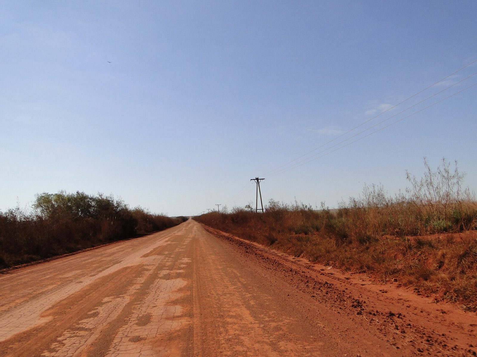
This is the question everyone asks, so here is the straight answer: the loop mixes asphalt and gravel, and the final approach to the portals is unpaved. The official guide is blunt about it: the portals are reached on gravel, sand and dirt roads, a high-clearance vehicle is recommended, and four-wheel drive is preferable on rainy days.
The Iberá's gravel was built on purpose. By 2022, according to Rewilding Argentina, the project had left ten public-access portals, 500 kilometres (about 310 miles) of gravel roads, signage for the scenic route and pavement improvements on two provincial routes. Over time, access from both Mercedes and Ituzaingó to Colonia Carlos Pellegrini improved markedly, the new approaches to San Antonio and Capivarí were gravelled, and RP 22 between Concepción and Chavarría was improved.
What a driver from abroad needs to know:
- Rain changes everything. A road your hire car handles today may call for high clearance or a 4x4 tomorrow. Ask about the next stretch before leaving each town, at the portal, the local tourist office or your lodging. The Iberá Experience road conditions page shows how much rain has fallen around each portal, because rainfall is what changes the gravel.
- Fill up whenever you can. For Colonia Carlos Pellegrini, fill the tank in Mercedes: the local tourism chamber warns that there is no service station on the 120 km of road or in the village, where fuel is only sold loose.
- Carry drinking water. The official guide is explicit: there is none at the portals.
- Carry some cash in Argentine pesos. Card and transfer payments depend on a phone signal that is often missing (see the next point), so do not count on them in the smaller places.
- Expect long stretches without signal. The national park authority warns that there is none on the track to San Nicolás, and the local tourism chamber says the same of the road from Mercedes to Carlos Pellegrini.
- If you are hiring a car, ask the rental company whether your cover includes gravel roads before you sign.
Before leaving each town, sort three things in one stop: a full tank, full water bottles and the state of the road ahead. Your lodging deals with that gravel every day and is a good place to ask whether your car will make the next stretch.
Driving slowly is not advice, it is the design
Rewilding Argentina, writing in 2024 about scenic routes in general for its El Impenetrable project in the Chaco, sets out the engineering: enough curves and a limited cleared width, not only to keep the landscape attractive but to keep speeds below 60 km/h (about 37 mph). Respecting those limits, it adds, is also how you avoid running over wildlife. The Esteros del Iberá tourism chamber, based in Colonia Carlos Pellegrini, asks the same on the gravel from Mercedes: no faster than 60 km/h. The official guide adds: follow the speed limits and respect the wildlife.
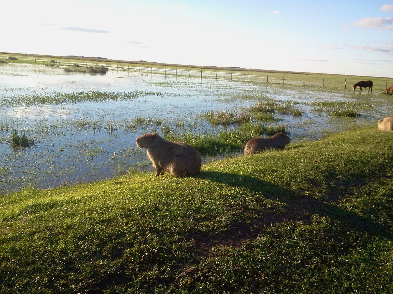
And this is the point that changes the trip: here, a good share of the wildlife-watching happens from the road. Four portals (San Nicolás, Cambyretá, Laguna Iberá and Mburucuyá) list photo safaris by vehicle among their official activities: the animals do not stay behind the portal gate.
At 100 km/h, all of that is a brown blur crossing in front of you. At 40, it is a marsh deer lifting its head to look at you.
What you see from the road
At first glance, as the official guide itself admits, the Iberá looks flat and uniform. Driving it, it is not: the original route proposal describes red-earth undulations, sandy rises, rocky plains and marsh shores, and the guide adds palm groves, grasslands, ñandubay woods, islets of humid forest and the sandbars of the Corriente River. Each side of the loop has its own character.
The north, between Loreto, San Miguel and Ituzaingó, has the vast grasslands of San Nicolás, the macaws of Cambyretá and the Jesuit-Guarani heritage of Loreto, shown at the San Antonio portal's interpretation centre and in the original, well-preserved religious images that many families keep in chapels at home. The east, on the gravel between Galarza and Carlos Pellegrini, is the side of the big lagoons: Luna, Galarza and Laguna Iberá itself. The south and west, between Mercedes, Chavarría and Concepción, belong to the Corriente River, the outlet that drains the whole reserve.
And at night there is one more thing: Iberá holds the first double Starlight certification in Argentina, awarded by the Starlight Foundation in 2023. Iberá National Park became a Starlight Reserve, and the territory of Concepción del Yaguareté Corá, Loreto and Chavarría became a Starlight Tourism Destination: three towns on the loop. You do not need to stop on a dark road to enjoy it: step out of your lodging in any of the three and look up, or book a guided stargazing outing.
The signs that tell you that you have arrived
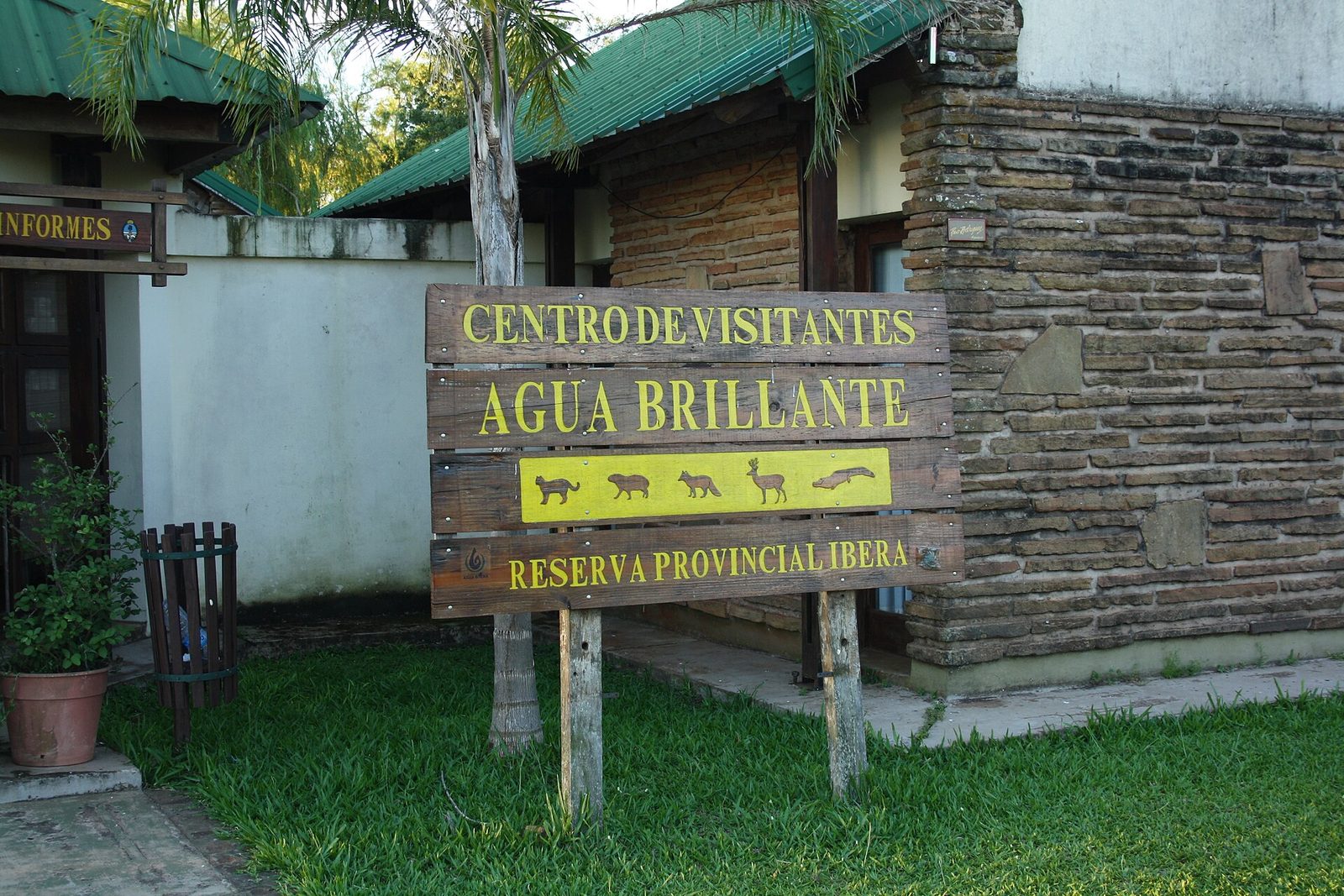
You notice it before you understand it: the signs all speak the same visual language. Stone and carved wood, earthy colours, high gabled roofs, thatch.
That is not one architect's taste. The planning book sets the rule: build with local materials such as ñandubay wood, stone from Mercedes, adobe, straw or piri (which the book recommends for walls inside the wetland), because they bring authenticity and harmony with the landscape. It all follows the "Marca Iberá" manual drawn up by the provincial government, which is why the campsites at Carlos Pellegrini, San Nicolás, Carambola and Cambyretá look related without being identical.
The practical effect is strange and rather lovely: when the first stone sign appears on the verge, you know you are inside the circuit, even if the portal is still some way off.
How to split the loop into days
The full ring is not a weekend trip. These three ways of cutting it work best:
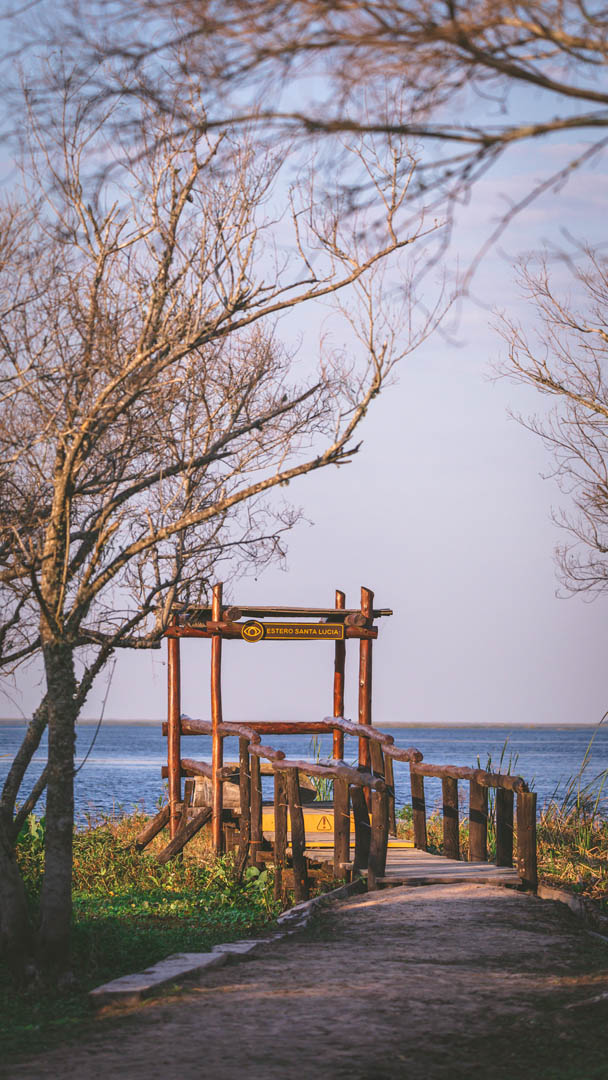
- Three days: the southern classic. Mercedes, then two nights in Colonia Carlos Pellegrini, with the Laguna Iberá portal (a boat trip on the lagoon is the obvious start) and a side trip to Uguay, then back to Mercedes on RP 40. The official guide counts Pellegrini's portal among the most developed for visitors, which makes this an easy introduction. Since May 2026 Ombú, a young jaguar born in the wild in Iberá, has been seen around the Laguna Iberá trails; the national park authority now closes only the sector where he is detected, so ask at the portal which trails are open that day.
- Five days: the northern side. Ituzaingó and Cambyretá, Loreto and San Antonio, San Miguel and San Nicolás, with paved RN 118 as the spine. It adds the macaws, the Jesuit-Guarani layer and the museums of Ituzaingó. Remember that San Nicolás is the portal where a 4x4 is recommended.
- A week or more: the whole ring. One night in each gateway town, without hurrying. It is the only version that shows you how the wetland changes from one side to the other, which is the reason the Scenic Route exists in the first place.
Whichever you choose, the golden rule is one portal a day. Distances look short in kilometres and turn out long in hours, and gravel cannot be rushed. For how the days fill up once you are there, see how many days you need.
What is being built next
The loop is not finished, and that is good news. The Plan de Acción en el Gran Parque Iberá 2026/27, presented by the provincial government in March 2026, covers works in 17 localities and aims to take the park from 80,000 to 150,000 visitors a year. Several sit right on the loop: a campsite with a reception area in Chavarría, an Iberá interpretation centre in Loreto and a biodiversity sanctuary at the San Antonio portal, an open-air gallery of 18 community murals in San Miguel, tourist signage in Paraje Galarza, public-access works at Uguay and electricity for the Lobo Cuá visitor centre in Colonia Carlos Pellegrini.
And a younger sibling is on the way: the Ruta Escénica Bonpland, on RP 114 between Yapeyú and La Cruz, with birdwatching viewpoints, signage and rest areas in the plan. All of these are plans, so check on the ground before you count on any of them.
Plan your loop with the app
The free Iberá Experience app is built for exactly this trip: the ten portals with their access roads, distances and advance notices, the local providers in each town with direct contact, the wildlife you can see at each portal, and practical information portal by portal, covering what each access has and what it does not.
One detail that matters on this loop: much of it has no signal. The app works offline, so before you leave the last town with a connection, open My trip, find the Offline mode card and tap Download my trip.
Frequently asked questions
Can I drive the Iberá Scenic Route in an ordinary car?
Much of it, in dry weather and driving with care. The official recommendation for the portal access roads is a high-clearance vehicle, with four-wheel drive preferable on rainy days. The national park authority says Cambyretá and Carambola can be reached in any vehicle when the roads are in normal condition (no heavy rain in the days before), and recommends a 4x4 for San Nicolás. In a wet spell, check the state of the road before each stretch.
How long is the Scenic Route?
The original proposal, promoted by the towns of the Iberá basin, describes a 1,340 km (about 830 miles) itinerary linking eight towns and 16 rural hamlets, or parajes. That number describes the proposal as a whole, branches and access roads included, not the ring you drive, and there is no official total for the loop alone.
Do I have to pay to enter?
For now, entry to Iberá National Park is free. The national park authority has already set an entry fee for it, but will only start charging once access controls are in place, so check before you go. The exception most travellers meet today is the Laguna Iberá portal in Colonia Carlos Pellegrini, where the provincial park sells an entry ticket valid for five days of your stay: check the current rate on arrival. Wherever you go in, register your visit at the portal.
When should I drive it?
Rain is what changes the gravel, so dry spells make the loop easier, above all for the more remote portals. When to visit the Iberá Wetlands goes through the year season by season, with wildlife, weather and mosquitoes, and the road conditions page shows recent rainfall around each portal.
Can I cycle it?
Cycling is listed among the activities at several portals, and the official guide says many portals rent bicycles. The whole ring by bike is a serious expedition: long gravel stretches between towns where you have to carry everything you need. It can be done, but it has to be planned.
Iberá Experience is the free guide app to the Ibera Wetlands. It shows you which of the ten gateway portals to choose, where to stay, and who runs the boat safaris, birding walks and transfers, with direct contact for each one. No sign-up, and it works straight from your browser. Start at iberaexperience.com.
Sources, last checked October 2026: Gran Parque Iberá: Producción de Naturaleza y Desarrollo Local (2020 edition, published on the official Parque Iberá website) for the scenic-route concept, the seven routes, the portals and the design rules; the official Iberá nature tourism guide, 2025 edition and its English version (official Parque Iberá website), for portal distances, activities, the map and visitor advice; Administración de Parques Nacionales (Iberá and Mburucuyá) for access roads, the Cambyretá gate, phone signal, free national park access and the 2026 entry fee not yet charged; Fundación Rewilding Argentina for the 2022 works (Proyecto Iberá page) and the 60 km/h design criterion (El Impenetrable, July 2024); Región Litoral (2016) for the original proposal and its 1,340 km; Cámara de Turismo de los Esteros del Iberá for the Mercedes road, the 60 km/h request, fuel and signal; Ministerio de Turismo de Corrientes for the Laguna Iberá ticket; República de Corrientes (2020) and El Litoral (2022 and 2026) for the RP 22 and RP 41 works and the 2026/27 plan, with 88.3 Radio Ciudad (March 2026) for the plan's works by town; Fundación Starlight (2023); Noticias Ambientales (June and July 2026) for Ombú and the trail protocol; Wikipedia for RN 118 and RN 123. Roads change with every heavy rain: confirm conditions locally before each stretch.
Cover photo: the Curupí trail at the San Nicolás portal, by Matías Rebak.
Start planning your Iberá trip
Free and no sign-up, on the web and on Google Play: the app that gathers all 10 access portals and more than 500 local providers of the wetlands.
Open Iberá Experience